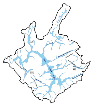
Maps
Quadrangle Maps Surveyed in 1898 and following years.
These are a series of official USGS topographical quadrangle maps of and around Garrett County (prior to the existence of Deep Creek Lake). The maps state that they were surveyed around 1898, with 20ft to 50ft contour intervals and printed in 1907 to 1920. Check the individual files for the exact specifications.
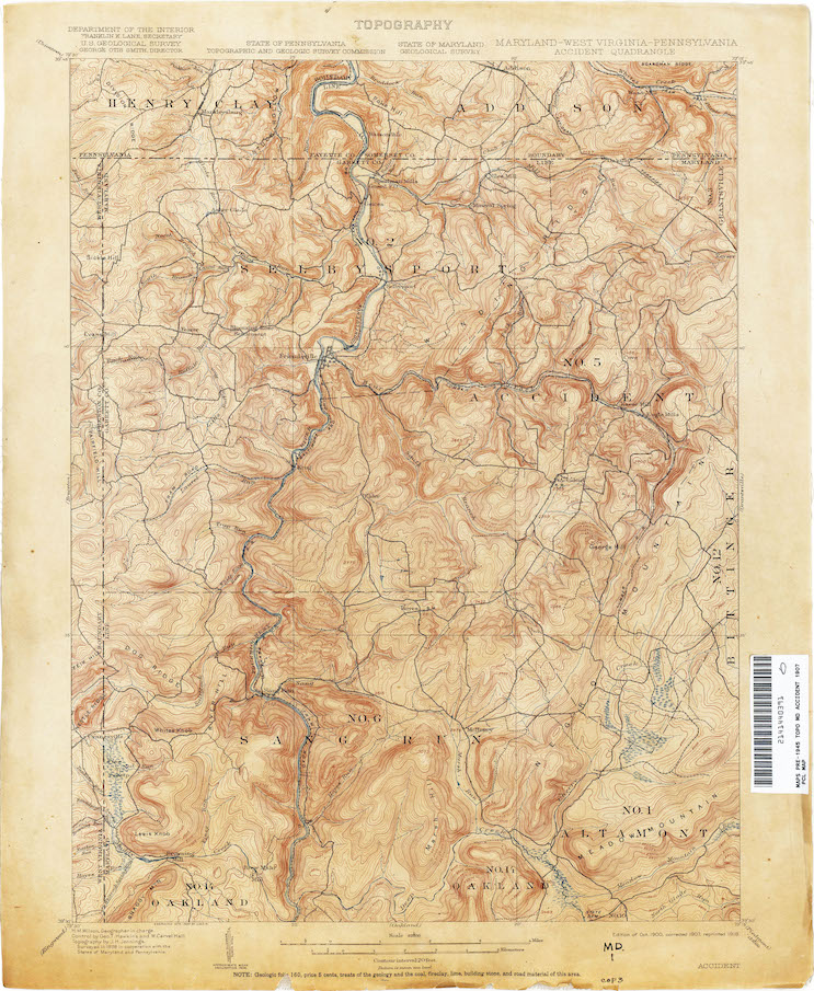
You can download the full-size Accident Quadrangle [4.8 MB] here: ![]()
You can download the full-size Frostburg Quadrangle [5.1 MB] here: ![]()
You can download the full-size Oakland Quadrangle [4.8 MB] here: ![]()
You can download the full-size Grantsville Quadrangle [7.8 MB] here: ![]()
You can download the full-size PawPaw Quadrangle [8.7 MB] here: ![]()
You can download the full-size Keyser Quadrangle [4.2 MB] here: ![]()
You can download the full-size Romney Quadrangle [3.5 MB] here: ![]()