Weather Data
To make forecasts will most likely require weather data. Garrett County has only one official weather station. It is located at Garrett County Airport, with the call number of K2G4 and is maintained by NOAA. The data is being collected in an automated fashion and charts are produced with HighCharts Click below to see a chart of the parameter of your choice for the values for the past 24 hrs (NOTE: Data acquisition is done at around 5 am).
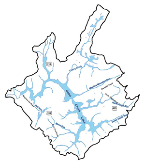
Similar data is going to be collected from a number of privately operated weather stations around the Deep Creek area. The question is mostly one of reliability. There are 10 such stations in the area.
This area of data collection will be expanded upon as time goes on.
Weather forecast data are extracted automatically every morning at 5am. The Weather Underground 5-day forecast API is used to extract the data for the center coordinates of the lake, namely Latitude=39.512 and Longitude=-79.316. An R script extracts the data as a JSON file and parses the set for variables of interest. For now, to show the feasibility, the cloud cover and air temperature are extracted. Below are their graphs.


