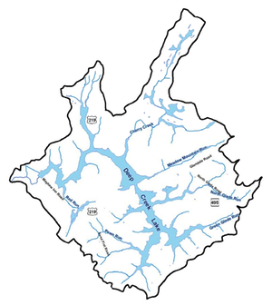
Maps
The rock formations under Garrett County
Geology is a very complicated science. This map shows the rock types that underlie Garrett County. These maps represent what was known in 1968.
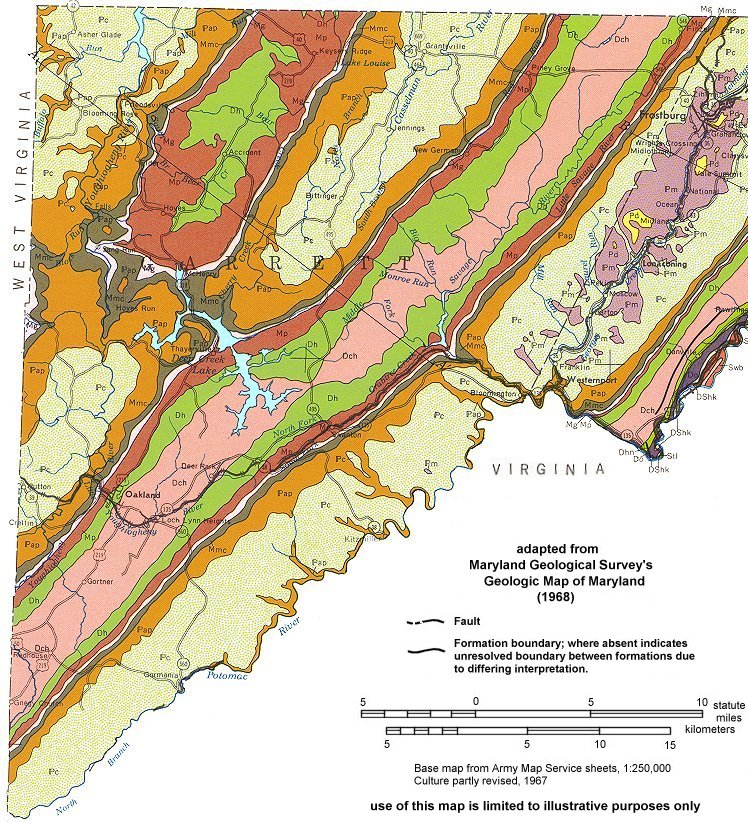
This map was obtained from a Maryland Geological Survey website.
For a detailed description of the meaning of each of the colors visitthe Garrett County map