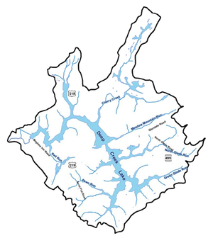
Maps
A DCL Fisherman's Map from 1952.
The Fisherman's Map was provided to me by Chris Nichols (POA) who found it apparently while cleaning up some documents. It's a scan of a, so called, Deep Creek Lake Fisherman's Map, probably published in 1953, since it references information dated 1952. Aside from fish management practices, it probably does not have much scientific value, but…, references were made to water quality measures, suggesting that actual measurements are made! The map was co-published by the "Game and Inland Fish Commission," which appears to have been merged eventually into the DNR. The map also shows some knowledge of depths and temperatures, so perhaps there is such data too. A treasure hunt in the making perhaps?
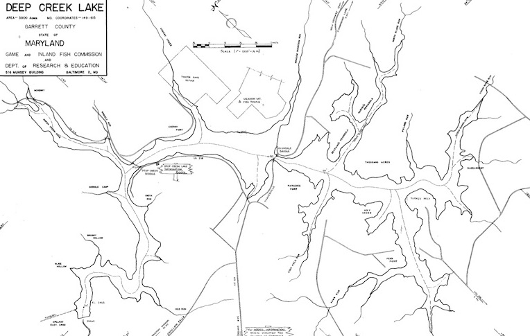
You can download the full-size pdf file of this map here: ![]()